
Topographische USA-Karten
San Francisco Bay Area
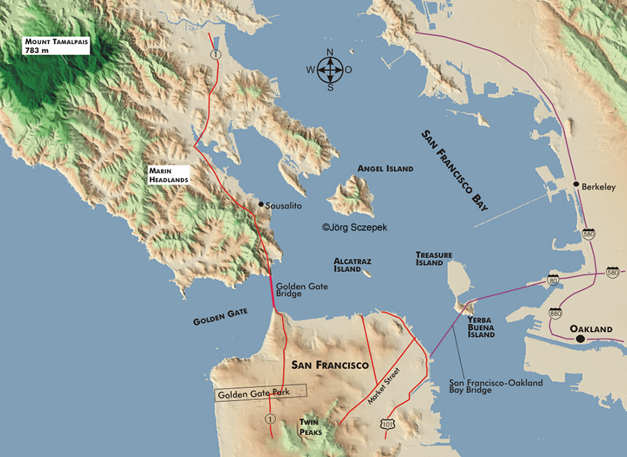
Topographische Karte des San Francisco Bay Area in Kalifornien basierend auf digtalen Geländemodellen (.dem) des United States Geological Survey.
Index aller USA-Karten.
Topographic map of San Francisco Bay Area in California based on the digital elevation model (.dem) of the United States Geological Survey.
Index of all USA maps.
Für ausführliche Reiseinformationen zu San Francisco blättern Sie durch den Online-Reiseführer
Viele nützliche Phototipps und Motivhinweise zu San Francisco finden Sie im PhotoFührer USA Zentralkalifornien.