
Topographische USA-Karten
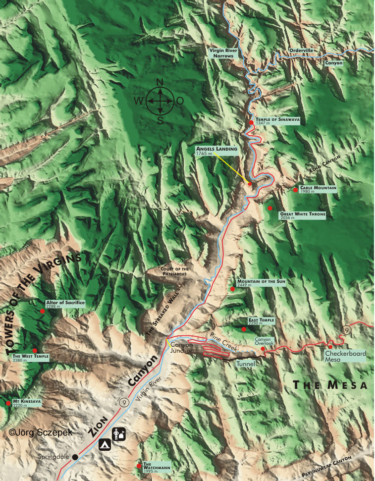
Zion Canyon, Zion National Park
Topographische Karte des Zion Canyon im Zion National Park, Utah, basierend auf digtalen Geländemodellen (.dem) des United States Geological Survey.
Index aller USA-Karten.
Topographic map of Zion Canyon in Zion National Park, Utah, based on the digital elevation model (.dem) of the United States Geological Survey.
Index of all USA maps.
Sehen Sie hier eine graphische Landschaftsanimation des Zion Canyon. Sie ist hilfreich, um sich die Wirkung des mit dem Tagesverlauf wechselnden Sonnenstands vorzustellen. So können Sie schon von zu Hause Tageszeit und Lichtrichtung für Ihren Photoaufenthalt planen.
Viele nützliche Phototipps und Motivhinweise zum Zion National Park finden Sie im PhotoFührer USA Südutah.